More flood alerts issued for rivers across Derbyshire as yet more rain expected

and live on Freeview channel 276
There are currently 22 flood alerts – which means that flooding is possible – in place in and around Derbyshire, up from 16 yesterday.
These include the River Wye at Ashford and Bakewell, Darley Dale and Matlock, where river levels are continuing to rise following persistent heavy rainfall and the alert says that flooding of roads and farmland remains. Areas most at risk are low-lying agricultural land and roads including Ashford and Bakewell areas, with the flood alert area: River Wye and tributaries from Burbage to the River Derwent at Rowsley.
Advertisement
Hide AdAdvertisement
Hide AdA similar alert is still in place on the River Erewash, where the risk of flooding of roads and farmland remains. River levels are still rising at the Shipley Gate river gauge as a result of persistent heavy rainfall and further heavy rainfall is forecast over the next 24 hours.

Areas most at risk are low-lying agricultural land and roads around Pinxton, including the Pinxton Wharf access road, Langley Mill, Ilkeston, Stapleford, and the recreation area at Sandiacre.
A new flood alert has been place on the River Amber, with river levels also rising at the Wingfield Park river gauge as a result of persistent heavy rainfall. Consequently, flooding of roads and farmland is possible from 1pm todday. Areas most at risk are low-lying agricultural land and roads along the River Amber around Ambergate.
River levels area also rising on the Lower Derwent in Derbyshire, with flood alerts in place for Belper, Church Wilne, Draycott, and Wilne Lane between Draycott and Sawley.
Advertisement
Hide AdAdvertisement
Hide AdThere are further alerts in place for the River Dove and Egginton Brook in Derbyshire, Bottle Brook and the River Trent in Derbyshire
The Environment Agency expects river levels to remain high throughout today and say they are closely monitoring the situation.
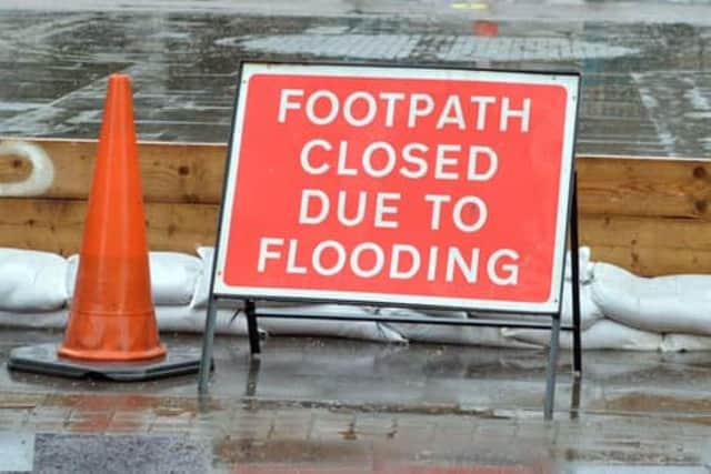
Their advice is to avoid using low-lying footpaths near local watercourses and plan driving routes to avoid low-lying roads near rivers, which may be flooded.
More more detail and the latest updates, visit the Government flood warning website.